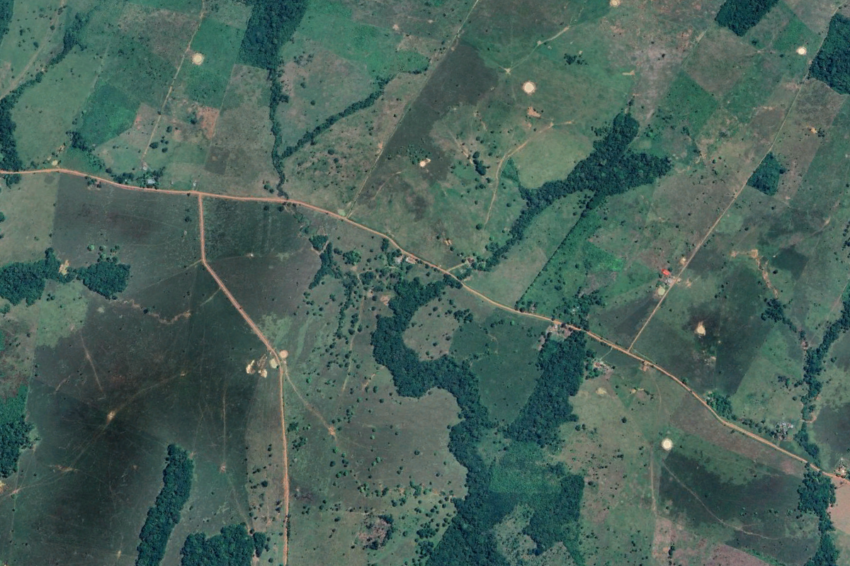
In June 2025, Mongabay Latam published a geographic analysis that documented a network of 1,926 kilometers (about 1,200 miles) of illegal roads in the most active deforestation hotspots transforming the Colombian Amazon. The report revealed that more than 100 kilometers (about 62 miles) of these roads cut across protected areas and Indigenous reserves, fragmenting critical ecosystems linking Chiribiquete National Park with the Nukak Reserve.
A team of journalists traveled to the most affected Amazonian departments (Caquetá, Meta, and Guaviare) to document how legal and illegal activities intertwine along these roads. Their reporting showed how roads have become drivers of deforestation, cattle ranching, and illicit crop cultivation, pushing the Amazon ever closer to its limit.
In the Colombian Amazon, there are more than 28,000 kilometers (about 17,400 miles) of roads stretching across protected areas, Indigenous reserves, and ecologically important zones, a distance equivalent to nearly 28 times the route from Bogotá to Cartagena. While these roads connect communities, they also fragment the rainforest.