Mongabay Investigates: tracking deforestation with data-driven journalism
As technology has advanced, so has the availability of near real-time data. Over the years, Mongabay has kept pace using this innovative technology to inform reporting on the world’s most vulnerable and ecologically significant places. In 2018, Mongabay launched a specialized series dedicated to deforestation coverage informed by satellite data. Via the Forest Trackers series, Mongabay journalists from around the world reveal forest loss trends and rates while digging into deforestation’s effects and the initiatives aimed at counteracting them through data-visualizations and multimedia journalism.
“Powering journalism with data gives us the ability to ramp up our objectivity and efficiency,” says Morgan Erickson-Davis, Mongabay senior editor and lead editor of Forest Trackers. “Instead of relying on rumor, we can peer through the clouds to see if satellites have picked up new clearings; we can analyze numbers to figure out exactly how much tree cover a protected area is losing and how this compares to years past; we can verify reports of deforestation from our desks within minutes, mitigating the need for time-intensive, expensive and potentially dangerous reporting trips. Data journalism has been revolutionary for Mongabay, and I’m so excited to be involved in this evolving frontier.”
What is deforestation and how does it affect biodiversity?
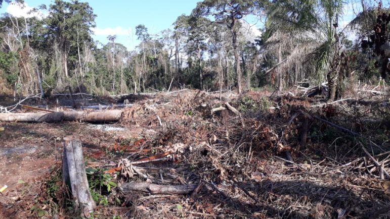
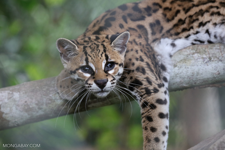
At the heart of this coverage is deforestation – the intentional clearing of forests. All over the world, humans have cut down forests to ensure space for timber harvests, agriculture, livestock, and development, among other things. Deforestation has led to a global alteration of landscapes and habitat reduction for many species, negatively affecting the environment and humanity.
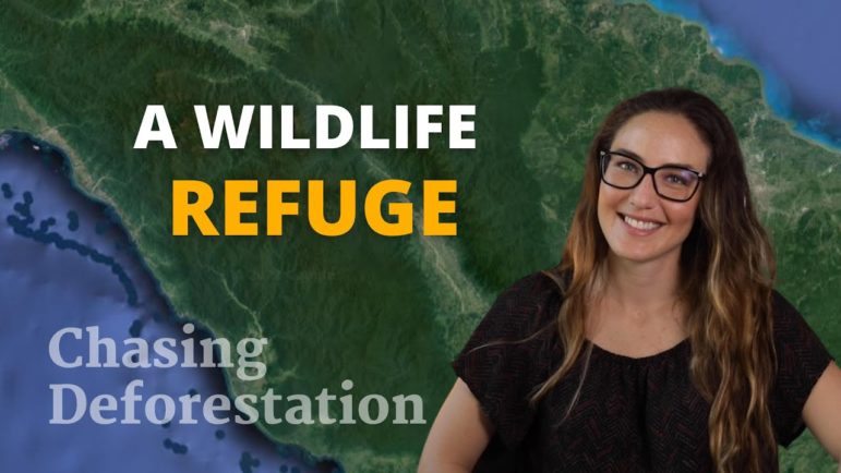
Forest Trackers delves into the environmental impacts of deforestation and pinpoints areas of new, usually illicit, logging. Recently, Mongabay expanded the series with a show: Chasing Deforestation, which provides viewers with an on-the-ground, visual understanding of deforestation that’s occurring around the globe.
Forest Trackers is powered by Places to Watch, a Global Forest Watch (GFW) initiative designed to quickly identify concerning forest loss around the world and catalyze further investigation of these areas. Places to Watch provides near-real-time satellite data, automated algorithms, and field intelligence to identify new deforestation areas. Mongabay then spurs reporting on recent deforestation to combine traditional journalism with data visualization and satellite imagery that contextualize forest losses within their broader patterns.
Here are some exemplary stories unearthed via this innovative and collaborative method:
Deforestation threatens tree kangaroo habitat in Papua New Guinea
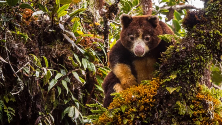
The proposed Torricelli Mountain Range Conservation Area in northwestern Papua New Guinea, home to two critically endangered tree kangaroo species, experienced a substantial surge in deforestation-related alerts in 2021, according to satellite data from the University of Maryland. Following up on these alerts, Mongabay reporting revealed that despite investment in and protection of the forests by local communities having led to an apparent rise in tree kangaroo populations, logging and other potentially destructive land uses remained threats in the Torricellis and throughout Papua New Guinea.
This article, along with material from the IUCN, European Commission, and Papua New Guinea local news, provided enough information for the country’s government to halt and reconsider a logging road project in the Torricelli mountain range, shared Jim Thomas of the Tenkile Conservation Alliance on an episode of the Mongabay Explores Podcast.
Read the article to learn more.
Refuge of endangered ‘African unicorn’ threatened by mining, poaching, deforestation
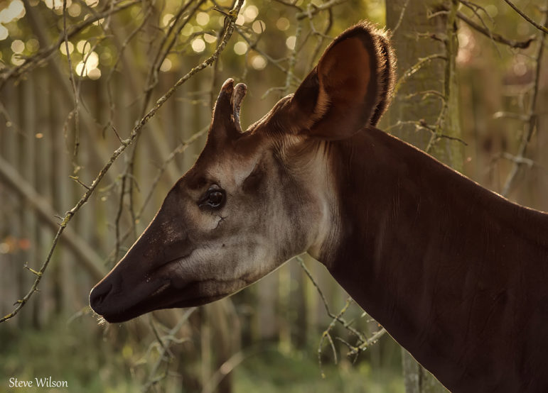
In early 2022, GFW indicated deforestation within the Okapi Wildlife Reserve in the Democratic Republic of the Congo (DRC), which shelters some 470 mammal and bird species, including up to 20% of the world’s remaining endangered okapi, a forest-dwelling relative of giraffes. This spurred Mongabay to report on what’s behind the satellite imagery and ground-truth the data, which also shows the expansion of what appear to be illegal gold mines in the latter half of 2021. Our reportage revealed that the issue goes beyond the reserve to the Ituri province that lost nearly 7% of its primary forest cover between 2002 and 2020. Furthermore, more than half of that forest loss has occurred since 2016 – a notable spike. This story brought global awareness to the increased violence against environmental defenders and unchecked mining driving deforestation there.
Read the article to learn more.
Illegal roads pierce Indigenous reserve, national parks in Colombian Amazon
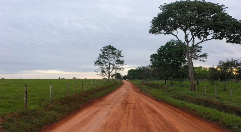
Most of the roads in Guaviare are illegal. Initially opened by FARC guerrillas, they have been enlarged and expanded in recent years. Image courtesy of the Rutas del Conflicto Archive.
In 2021 satellite imagery showed a series of roads in the process of being or that had been developed in the Colombian Amazon cutting through national parks and an Indigenous reserve. This spurred Mongabay to dig into the suspicious activities and affirm that extensive deforestation had accompanied the road network expansion. Interviews with local officials, environmental experts and area residents revealed potential economic interests behind the road development and a concern over land grabbing by settlers from other parts of the country. This article resulted in greater transparency and highlighted the often unclear power dynamics behind large-scale infrastructure projects.
Read the article to learn more.
Chasing Deforestation
Chasing Deforestation is a video series that explores Earth’s most threatened forests through satellite data and reporters on the ground. Produced as a video companion series to Forest Trackers, Chasing Deforestation also sheds light on the behind-the-scenes stories of journalists in the field.
Protecting the last Cross-River gorillas ft. Orji Sunday
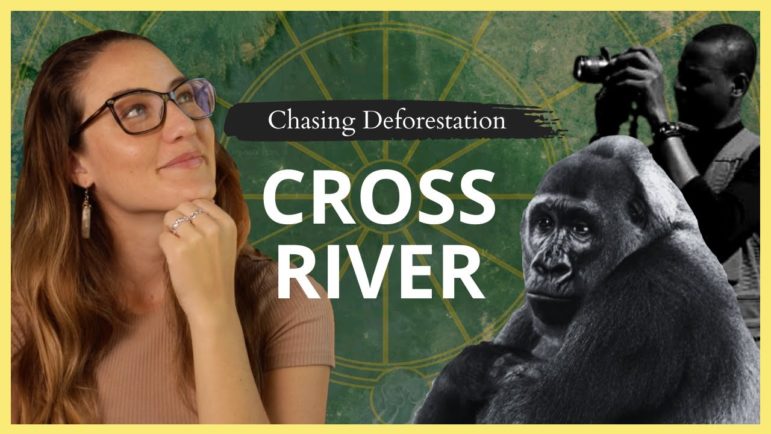
Chasing Deforestation host, Romi Castagnino, takes viewers to the forests of Cross River State in Nigeria. The location is an important habitat corridor connecting imperiled populations of critically endangered Cross River gorillas. According to satellite data, deforestation has risen due to illegal logging and farming, among other factors.
In this episode, Mongabay deeply delves into the history and social dynamics that shaped the state over the last century. Contributor reporter Orji Sunday talks about the drivers of deforestation inside protected areas and the challenges rural communities face when introducing conservation into their daily lives.
Watch the video to learn more.
Buffalo frenzy grips the Brazilian Amazon ft. Ana Ionova
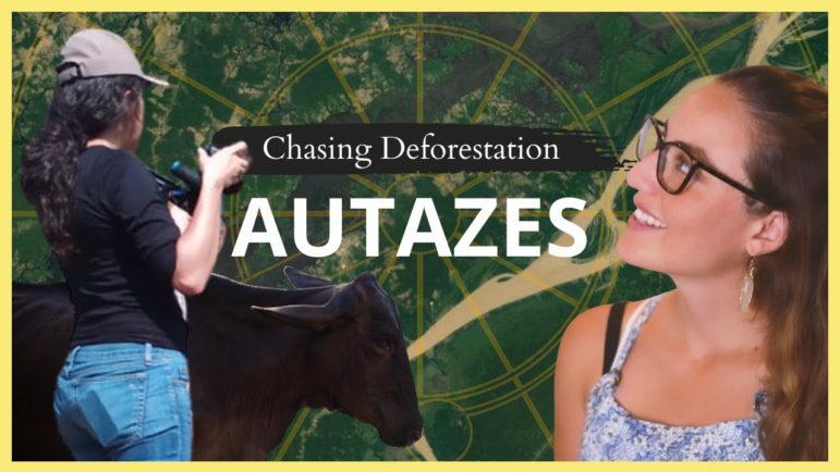
The forests of Autazes in the Brazilian Amazon are experiencing rising rates of deforestation. Indigenous leaders say the clearing is now encroaching on the 18 Indigenous reserves in the region, some of which are still awaiting full demarcation. Most razed lots are being turned into grazing pastures for herds of domestic water buffalo, which thrive in the region’s floodplains.
Mongabay spoke to Mongabay contributor Ana Ionova to discuss the drivers of deforestation inside an Indigenous reserve that is home to the Mura group.
Watch the video to learn more.
Interested in writing cutting-edge environmental stories about Brazil? Submit your pitch today in English or Portuguese.
Can we save the Leuser Ecosystem?
The Leuser Ecosystem on Indonesia’s island of Sumatra is a biodiversity hotspot that has been fighting palm oil-driven illegal logging for decades. Host Romi Castagnino digs into the history that drove the crop’s expansion in Sumatra and the socio-environmental consequences of illegal logging. The episode explores the local conservation initiatives to fight deforestation and how people worldwide can help.
Watch the video to learn more.
Learn more about deforestation
If you want to learn more about deforestation, please check out this page to access all the articles we have published on the topic. And, be sure to track the latest content from Forest Trackers and Chasing Deforestation.
Also, subscribe to Mongabay’s weekly newsletter to get the latest environmental news delivered right to your inbox.